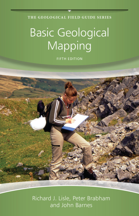
Description
Efnisyfirlit
- Cover
- The Geological Field Guide Series
- Title
- Copyright
- Preface to The Fourth Edition
- Preface to The Fifth Edition
- Chapter 1: Introduction
- 1.1 Outline and Approach
- 1.2 Safety
- 1.3 Field Behaviour
- 1.4 A Few Words of Comfort
- Chapter 2: Field Equipment
- 2.1 Hammers and Chisels
- 2.2 Compasses and Clinometers
- 2.3 Hand Lenses
- 2.4 Tapes
- 2.5 Map Cases
- 2.6 Field Notebooks
- 2.7 Scales
- 2.8 Protractors
- 2.9 Pencils, Erasers and Mapping Pens
- 2.10 Acid Bottles
- 2.11 Global Positioning System (GPS) and Mobile Phones
- 2.12 Other Instruments
- 2.13 Field Clothing
- Chapter 3: Topographic Base Maps
- 3.1 Types of Geological Map
- 3.2 Topographic Base Maps
- 3.3 Geographic Coordinates and Metric Grids
- 3.4 Grid Magnetic Angle
- 3.5 Position Finding on Maps
- 3.6 Use of Air Photography as a Mapping Tool
- 3.7 Suitability of Images for Geological Mapping
- Chapter 4: Methods of Geological Mapping
- 4.1 Strategy for the Mapping Programme
- 4.2 Mapping by Following Contacts
- 4.3 Traversing
- 4.4 Exposure Mapping
- 4.5 Mapping in Poorly Exposed Regions
- 4.6 Superficial Deposits
- 4.7 Drilling
- 4.8 Geophysical Aids to Mapping
- 4.9 Large-Scale Maps of Limited Areas
- 4.10 Underground Mapping
- 4.11 Photogeology
- Chapter 5: Technological Aids to Mapping
- 5.1 Digital Terrain Models
- 5.2 Topographic Surveying Techniques
- Chapter 6: Field Measurements and Techniques
- 6.1 Measuring Strike and Dip of Planar Structures
- 6.2 Plotting Strike and Dip
- 6.3 Recording Strike and Dip
- 6.4 Measuring Linear Features
- 6.5 Folds
- 6.6 Faults
- 6.7 Thrusts
- 6.8 Joints
- 6.9 Unconformities
- 6.10 Map Symbols
- 6.11 Specimen Collecting
- 6.12 Field Photography
- 6.13 Panning
- Chapter 7: Mappable Rock Units and Lithology
- 7.1 Lithostratigraphy and Sedimentary Rocks
- 7.2 Sedimentary Formations
- 7.3 Rock Descriptions
- 7.4 Identifying and Naming Rocks in the Field
- 7.5 Fossils
- 7.6 Phaneritic Igneous Rocks
- 7.7 Aphanitic Igneous Rocks
- 7.8 Veins and Pegmatites
- 7.9 Igneous Rocks in General
- 7.10 Pyroclastic Rocks
- 7.11 Metamorphic Rocks
- 7.12 Economic Geology
- Chapter 8: Field Maps and Field Notebooks
- 8.1 Field Maps
- 8.2 Field Notebooks
- Chapter 9: Fair Copy Maps and Other Illustrations
- 9.1 Fair Copy Maps
- 9.2 Transferring Topography
- 9.3 Transferring Geology
- 9.4 Lettering and Symbols
- 9.5 Formation Letters
- 9.6 Layout
- 9.7 Colouring
- 9.8 Stratigraphic Column
- 9.9 Overlays
- 9.10 Computer Drafting of the Fair Copy Map
- Chapter 10: Cross-Sections and 3D Illustrations
- 10.1 Cross-Sections
- 10.2 Method of Apparent Dips
- 10.3 Down-Plunge Projection Method
- 10.4 Balanced Cross-Sections
- 10.5 Columnar Sections
- 10.6 Block Diagrams
- 10.7 Models
- Chapter 11: Geological Reports
- 11.1 Preparation
- 11.2 Revising and Editing
- 11.3 Layout
- 11.4 The ‘Introduction’
- 11.5 Main Body of the Report
- 11.6 The ‘Conclusions’ Section
- 11.7 Text Illustrations
- 11.8 References
- 11.9 Appendices
- 11.10 Some Final Thoughts
- Appendix A: Adjustment of a Closed Compass Traverse
- Appendix B: Field Equipment Checklist
- Appendix C: Indicators of Stratigraphical Way-Up
- Appendix D: Useful Chart and Tables
- References
- Index
- Selected Map Symbols
- Colour Plates
- End User License Agreement


Reviews
There are no reviews yet.