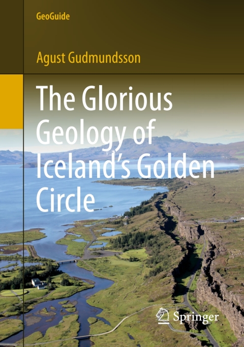
Description
Efnisyfirlit
- Preface
- Acknowledgements
- Contents
- 1 Introduction
- 2 Keflavik to Reykjavik
- 3 Reykjavik
- 4 Reykjavik to Thingvellir (Þingvellir)
- 4.1 Esja—Spreading Rate and Structure
- 4.2 Magma Chamber and Collapse Caldera
- 4.3 Subsiding Crustal Segment—A Graben
- 5 Thingvellir (Þingvellir)
- 5.1 Almannagja (Almannagjá)
- 5.2 Peningagja and Flosagja (Peningagjá and Flosagjá)
- 5.3 How Do the Fractures Form?
- 5.4 How Deep Are the Fractures?
- 5.5 When Will the Next Eruption Occur?
- 6 Thingvellir (Þingvellir) to Geysir
- 6.1 Hrafnagja (Hrafnagjá)
- 6.2 Botnsulur and Armannsfell (Botnsúlur and Ármannsfell)
- 6.3 Hrafnabjörg Table Mountain
- 6.4 Skjaldbreidur (Skjaldbreiður) Lava Shield
- 6.5 Laugarvatnshellar and Hyaloclastites
- 6.6 The Importance of Power Laws in Natural (and Human) Processes
- 6.7 Pillow Lavas
- 7 Geysir
- 7.1 Mechanism of Eruption
- 7.2 Geothermal Fields
- 7.3 Geysers and Earthquakes
- 7.4 Heat Sources
- 8 Gullfoss
- 8.1 Why Has Gullfoss Two Oblique Steps?
- 8.2 How Did the Canyon Evolve?
- 9 Gullfoss-Kerid (Kerið)-Reykjavik
- 9.1 Earthquake Faults and Mountain Shapes
- 9.2 Pit Crater
- 9.3 Rockfalls and Earthquakes
- 9.4 Lava Erupted in the Year 1000
- 9.5 The Youngest Lava Flow to Have Entered Reykjavik
- 10 Other One-Day Geological Excursions from Reykjavik
- 11 Reykjavik-Hvalfjördur (Hvalfjörður)
- 11.1 Magma Transport Inside a Volcano
- 11.2 Volcanic Systems and Dike Swarms
- 11.3 Sandpit, Secondary Minerals, and Dike Propagation
- 11.4 Difference Between Eruptive Fractures (Dikes) and Earthquake Fractures (Faults)
- 11.5 Landscapes, Landforms, and the Hvalfjördur Volcano
- 11.6 What Does the Thingvellir Graben Look like at Great Depth?
- 11.7 Vertical Section Through Two Lava Shields
- 11.8 Table Mountain Hvalfell
- 12 Reykjavik-Hengill
- 12.1 Hyaloclastite Ridge
- 12.2 Feeder-Dike
- 12.3 Geology of Hengill—Overview
- 12.4 Geothermy
- 12.5 The Nesjahraun Lava
- 12.6 Major Faults
- 13 Reykjavik-Kleifarvatn-Reykjanes
- 13.1 Lava Channels
- 13.2 Sveifluhals (Sveifluháls) and Kleifarvatn
- 13.3 Kleifarvatn—Controlled by Fractures
- 13.4 Fracture Sets and Volcanic Eruptions
- 13.5 The Structure of Sveifluhals (Sveifluháls)
- 13.6 Deformation Bands and Fluid Flow
- 13.7 Geothermal Fields
- 13.8 Explosion Craters—Maars
- 13.9 Table Mountain Cut in Half
- 13.10 Young Lava Flow and a Graben
- 13.11 Volcanic Fissure and Flow Channelling
- 13.12 Reykjanes—Lava Shields and Lava Fields
- 13.13 An 800-Year-Old Fissure Eruption
- 13.14 Details of 800-Year-Old Feeder and Non-feeder Dikes
- 13.15 Bridge Between Two Continents
- 14 Reykjavik-Eyjafjallajökull-Reynisfjara
- 14.1 Largest Lava Flow Erupted on Earth in the Past 10 Thousand Years
- 14.2 Earthquake Fractures from the Year 2000
- 14.3 Hekla Volcano
- 14.4 Seljalandsfoss Waterfall
- 14.5 Eyjafjallajökull Volcano—Internal Structure and the 2010 Eruptions
- 14.6 Skogarfoss (Skógarfoss) Waterfall
- 14.7 Petursey (Pétursey)—An Island on Dry Land
- 14.8 A Village Threatened by the Eruptions of the Katla Volcano
- 14.9 Myrdalssandur (Mýrdalssandur)
- 14.10 How Large Are the Outburst Floods?
- 14.11 Katla Volcano
- 14.12 The Beach of Reynisfjara
- Glossary
- References and Further Reading
- Index


Reviews
There are no reviews yet.